")

")


SACIDAVA Fortress
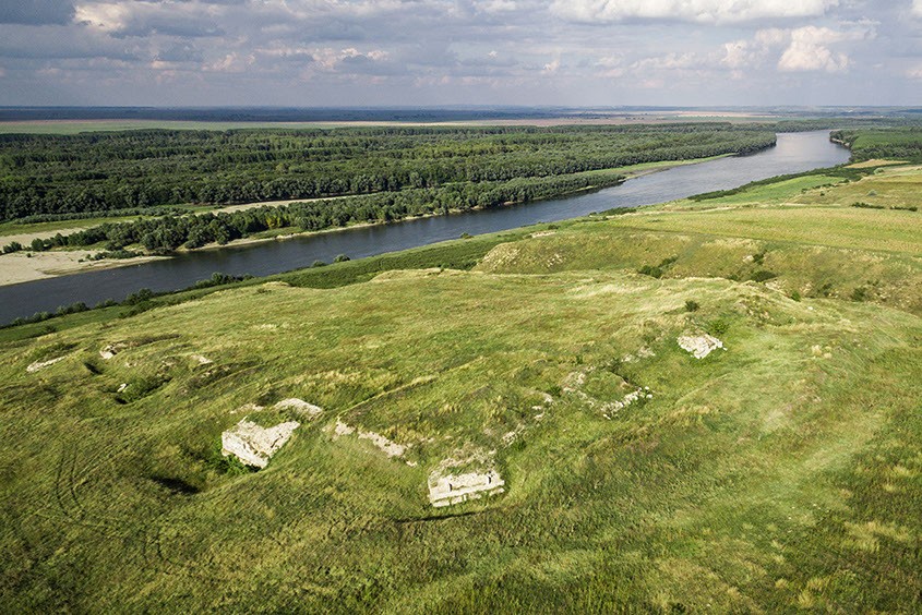
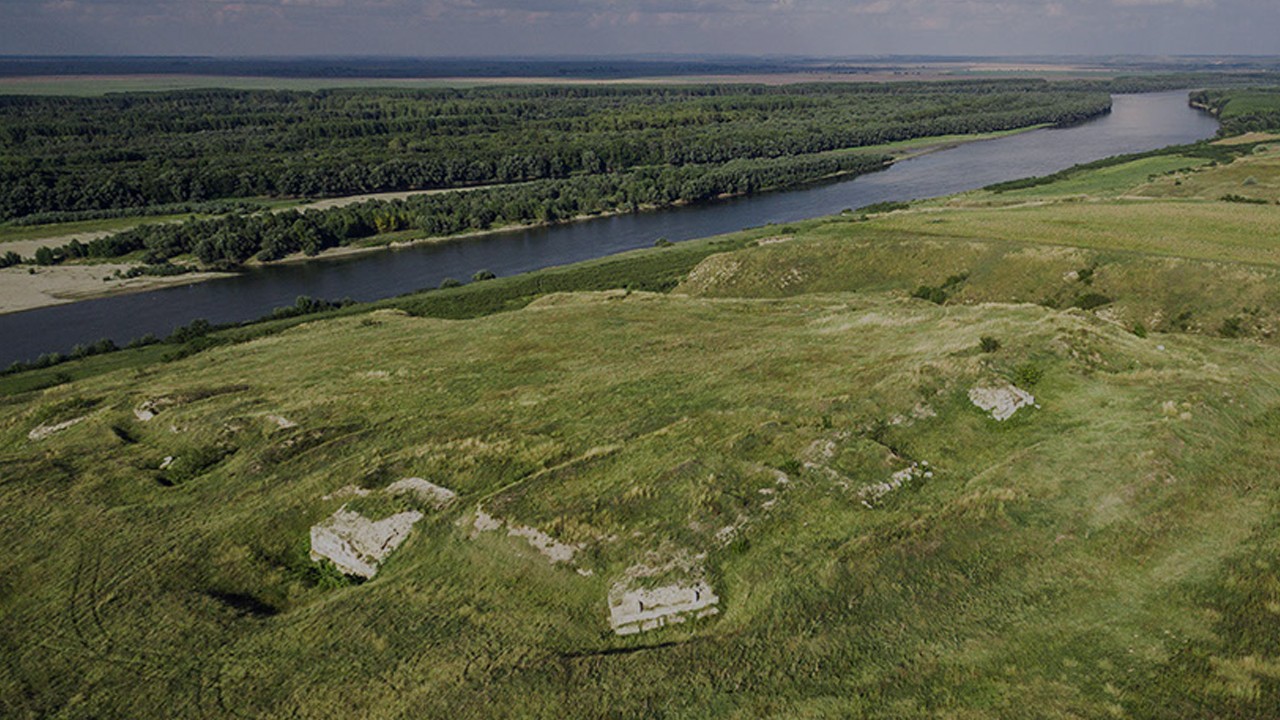
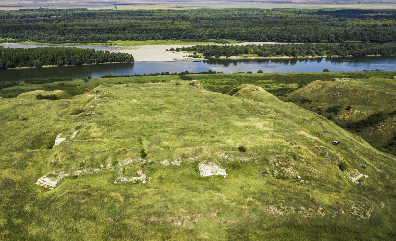
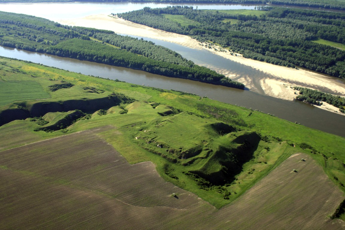
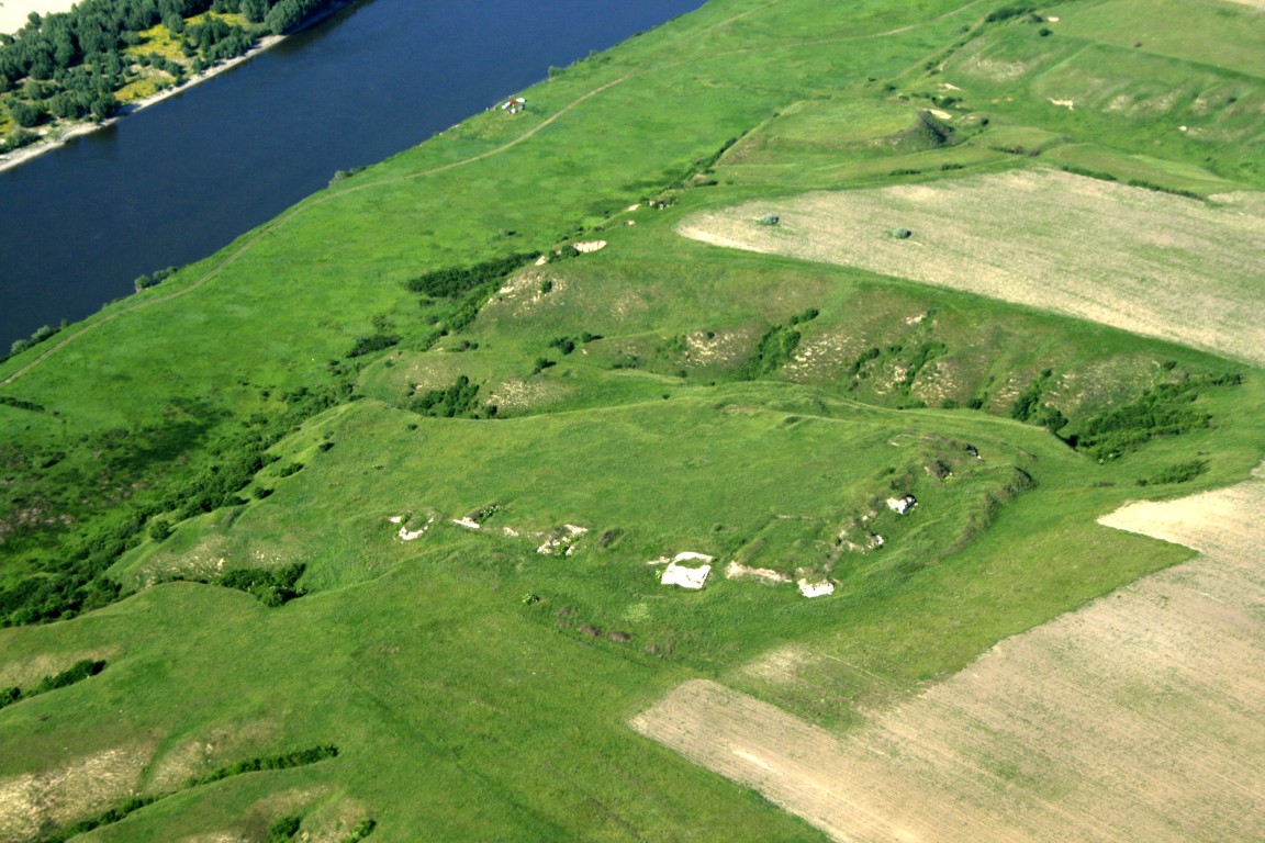
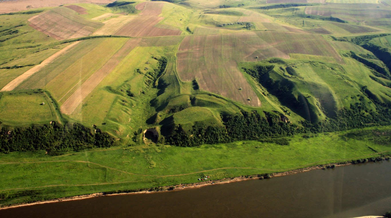
In the southwestern part of Constanța County, on the Danube bank, the Rasova – Aliman area includes a large and varied number of archaeological sites: the initial segments of the 3 trans-Dobrogenian waves (the large earthen wave, the stone wave and the small earthen wave), earthen citadels, tumuli, settlements, fortifications, camps, necropolises, which can be dated from the Neolithic to the late Middle Ages. Among these, the Roman fortress of Sacidava stands out, in terms of location, historical importance and conservation.
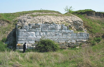
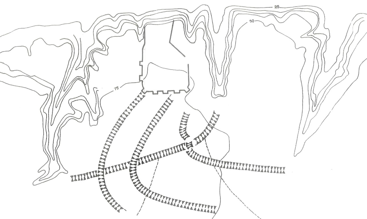
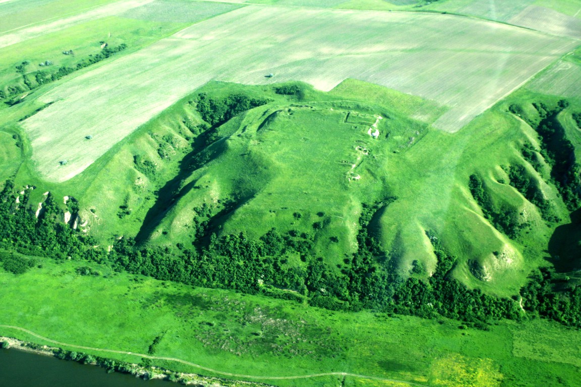
Sacidava Fortress is located on the right bank of the Danube between Lake Dunăreni and Balta Vederoasa, on Muzait Hill, opposite Ostrovul Fermecatul and the western extremity of Ostrovul Luna (or Uzunda), about 5 km NE of the village of Dunăreni. Muzait Hill includes, in addition to the fortress, a Getic settlement, but also an early medieval settlement. Thus, the archaeological complex here proves a continuity of habitation from the pre-Roman period until the 11th century AD, preserving valuable scientific data about the evolution of the area. The three sites are listed in the List of Historical Monuments 2015, at positions 202, code: CT-I-m-A-02654.01 - early medieval settlement; 203, code: CT-I-m-A-02654.02 - Roman fortress; 204, code: CT-I-m-A-02654.03- the Getic fortress, for Constanța county, and the Sacidava fortress is also included in the UNESCO indicative list, as part of the Danubian limes
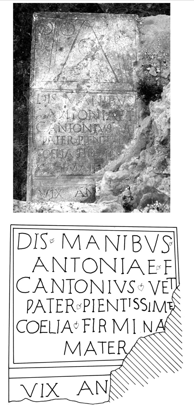
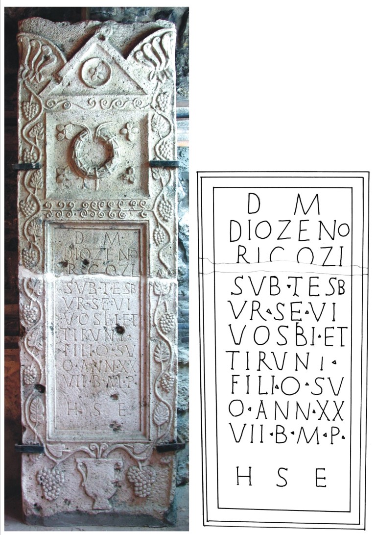
The first information regarding the existence of Sacidava is transmitted by ancient sources: a map drawn up at the end of the 3rd century AD, preserved in a late copy (Tabula Peutingeriana), mentions the existence of the fortification under the name of Sagadava, and another source, Notitia Dignitatum. Pars Orientis, XXXIX and XL, mentions the existence of a military formation on the limes, stationed at Sacidava (Cuneus equitum Scutariorum, starting from the first quarter of the 4th century AD), later Procopius of Caesarea mentioning the same point under the name of Σκεδεβα (De aedificiis, IV, 11, 20). Over time, the literary information was confirmed by epigraphic discoveries in the area.
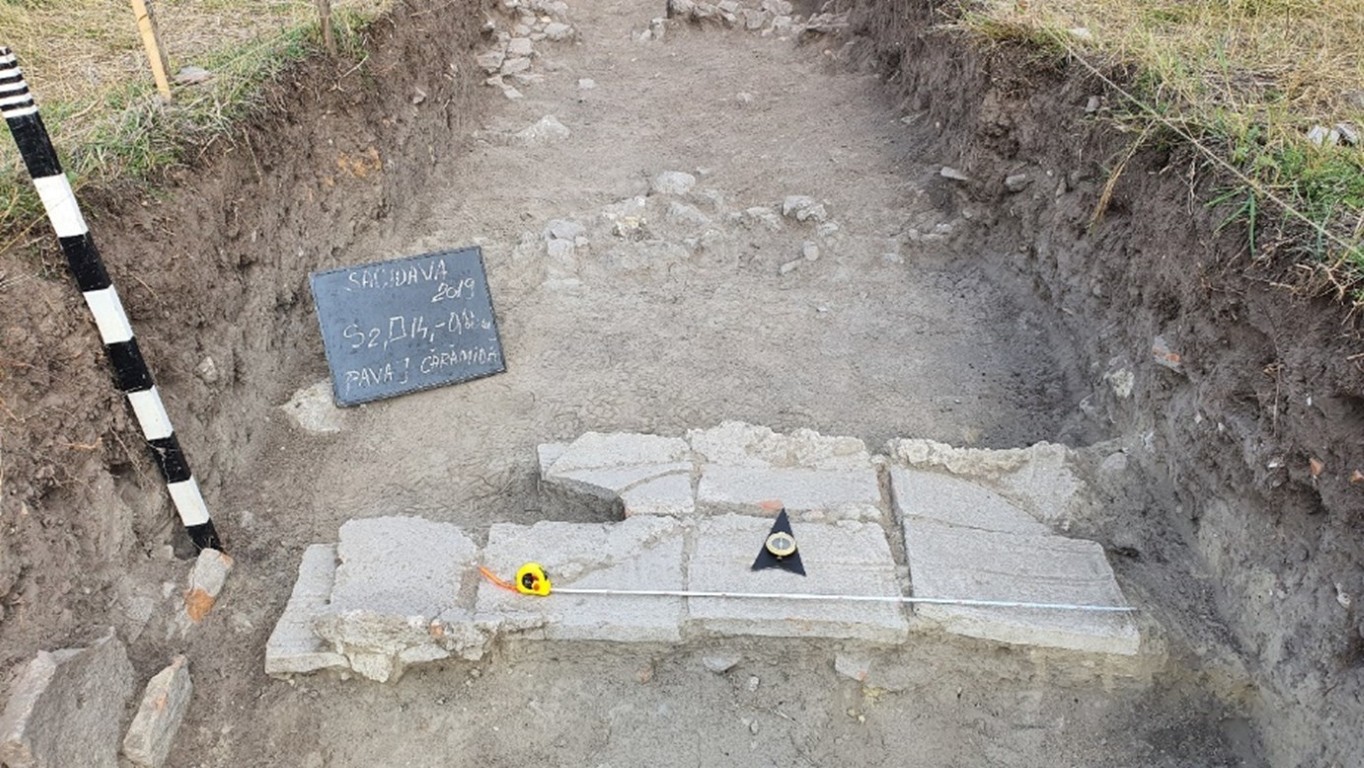
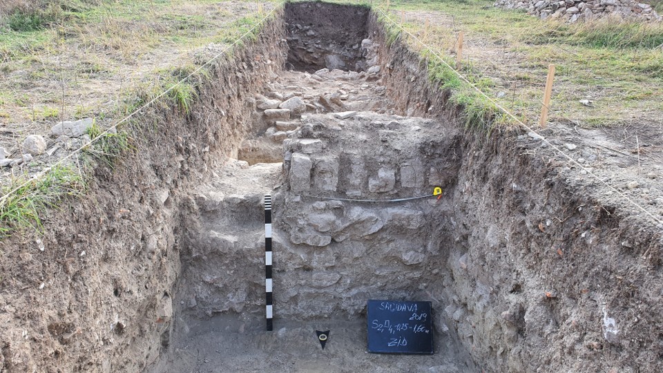
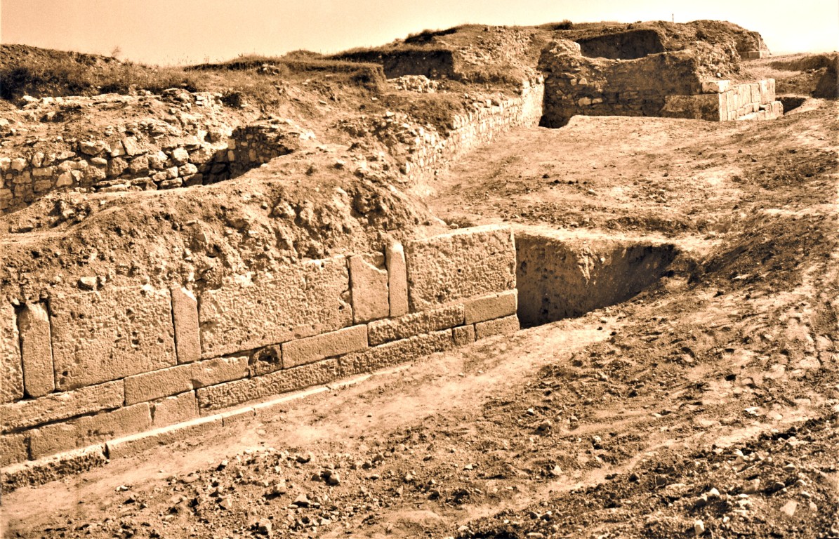
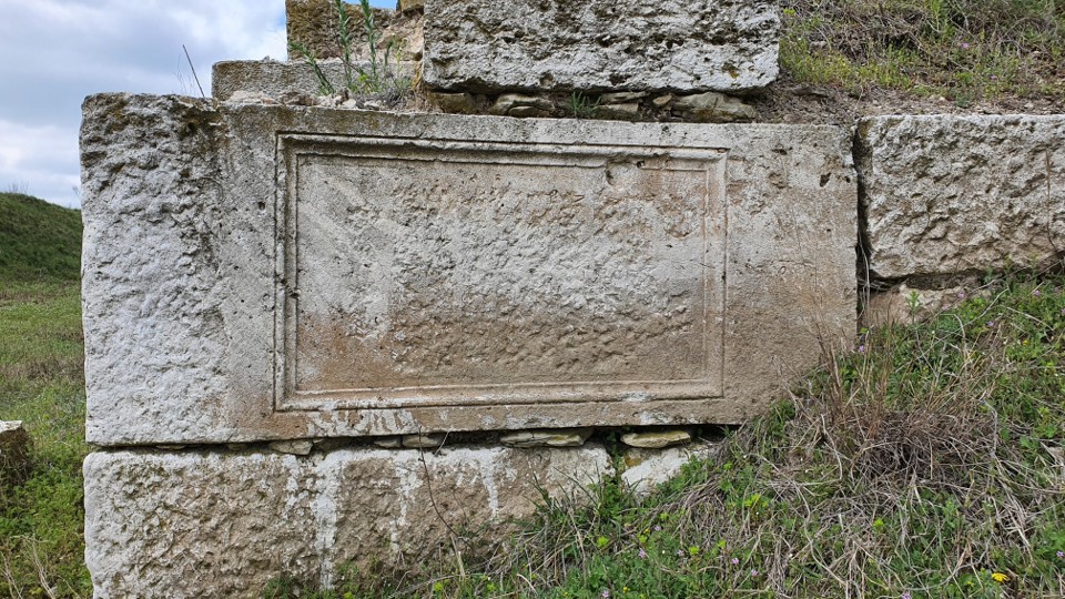
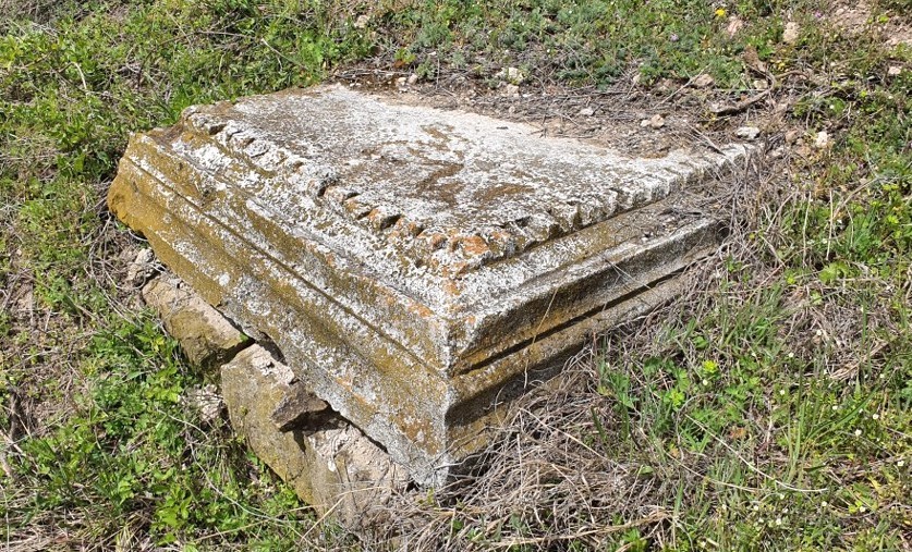
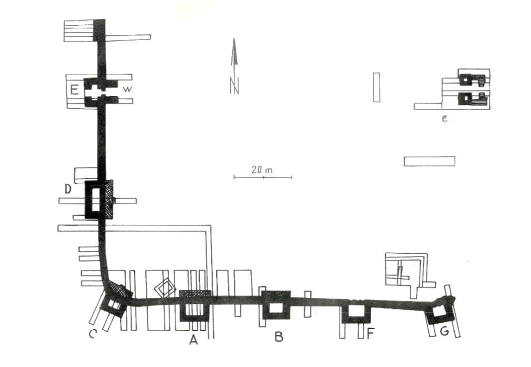
Systematic archaeological research began in 1969, and three stages of work can be identified so far: 1969-1979, 2014-2016, 2019-2022. These researches have proven that the citadel, a fortification of the Danubian limes and with an important role in the defensive system that protected the great urban complex at Tropaeum Traiani, had several phases of development, with an uninterrupted evolution from the beginning of the 2nd century AD to the first quarter of the 7th century AD.
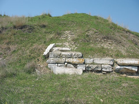
Several levels of fire damage have been identified, but some do not cover the entire fortification, but only parts of it. A major fire and massive destruction is archaeologically documented for the 3rd century, but the south of the fortification was not affected, the likely cause being the Gothic attacks of the middle of this century, which took place throughout the region.
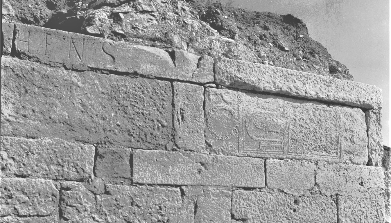
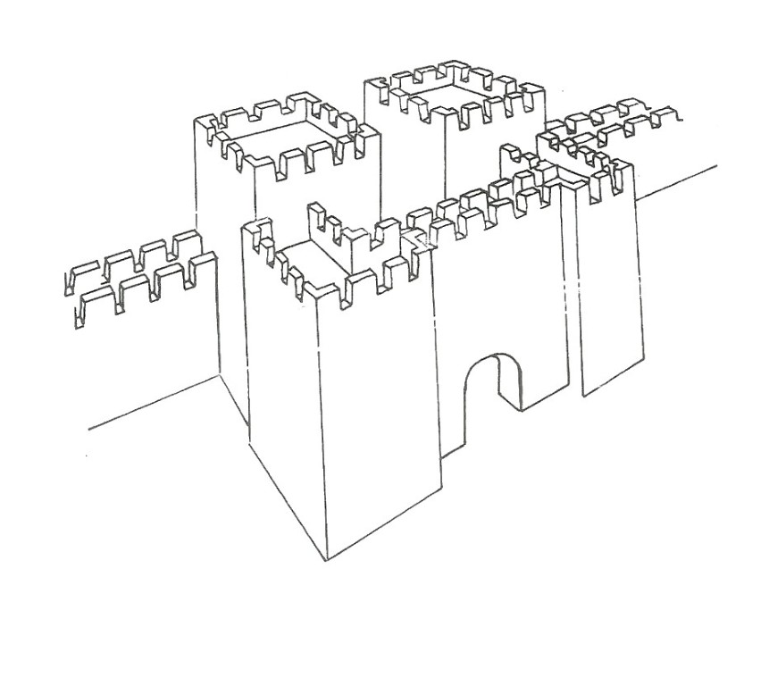
In the 4th century, there was a reconstruction of the enclosure on the western side and an extension of the fortress to the south, by building a new enclosure, Sacidava acquiring on this occasion a rectangular plan, with sides 125 m long, which enclosed an area of approximately 4 ha. The walls were about 2 m thick, and the towers were rectangular.
A series of military units had their garrison in the fortification, in the 2nd century Cohors IV Gallorum and, probably from the time of Hadrian, Cohors I cilicum sagittariorum milliaria, and later a vexillatio from Legio II Herculia from Troesmis (Iglița); later, in the 4th-5th centuries a cuneus equitum scutariorum camped here.
At the end of the 4th century, a new massive fire was observed, the 5th century being marked by repeated reconstructions, archaeologically showing thick layers of burning and ash. It was the time when raids by Germanic and Hunnic tribes took place on the territory of the province of Scythia.
The restoration and development of the fortress at the beginning of the 6th century were interrupted by a great fire, most likely related to the Kutrigur attack in 559, and restorations on the southern side of the enclosure are dated to the second half of the 6th century.
Archaeological documentation shows a final stage of life within the walls of Sacidava between 602-620, even after the decommissioning of the enclosure, a sporadic Roman-Byzantine type of habitation was observed, which disappeared when the last inhabitants left these places, the few traces of habitation from the 8th century (discovered during the last systematic archaeological research campaigns) unable to stop the irreversible decline of the fortress.
Currently, efforts are being made to continue systematic research at this site, and through the collaboration of the Constanța Museum of National History and Archaeology with the Rasova City Hall and the contribution of the Faculty of Architecture within the "Ion Mincu" University of Architecture and Urban Planning in Bucharest, an exhibition point dedicated to the presentation of local history and archaeological discoveries made at Sacidava is being set up in the Rasova commune.